Alaska 2024: Roll 13 - Wrangell-St. Elias National Park
We woke up and had a nice run in the town of Tok. There are just two main roads in the town which are both the major highways in the area.
One of the roads is the Alaska Highway and the other, Highway 1 or the Glenn Highway, begins in Tok and takes you across the state and down to Homer on the Kenai Peninsula.
Our running path was the sidewalk that ran along the Glenn Highway and while nothing special, it was serviceable run that we would be coming back to on our trip home.
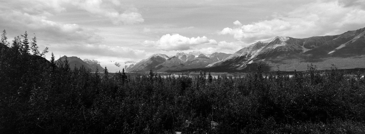
Our drive from Tok to Chitina was mostly uneventful. There were some wonderful view that I captured on digital and not on the Xpan but that I would try and get on the way back out.
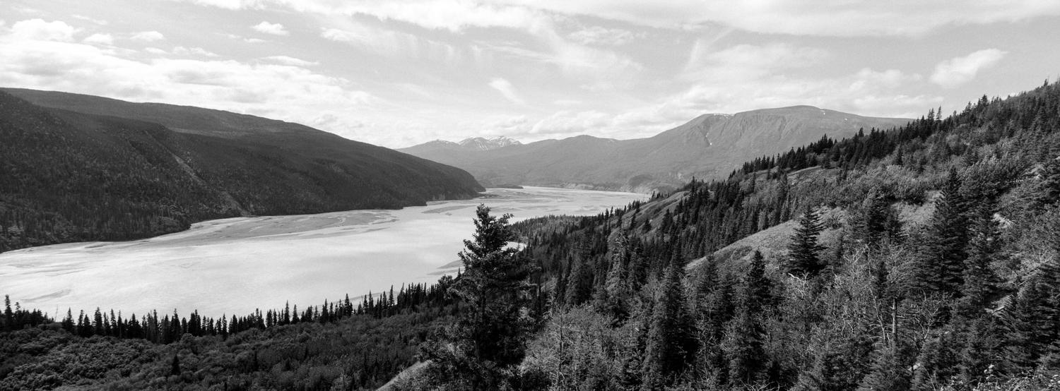
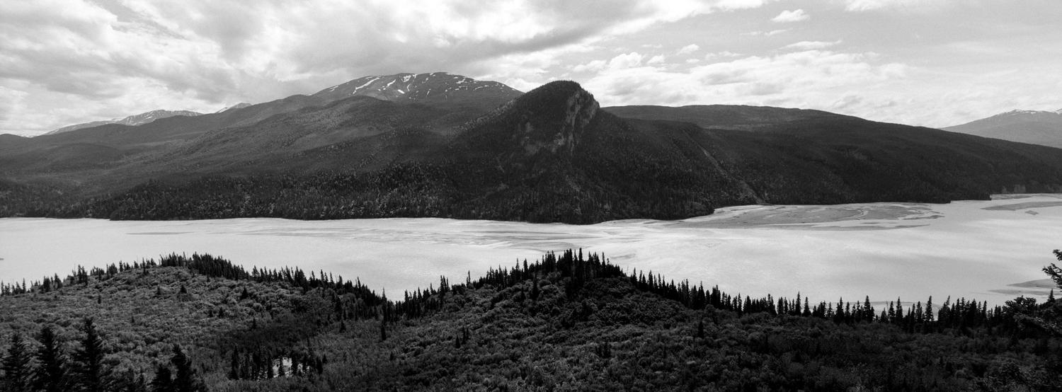
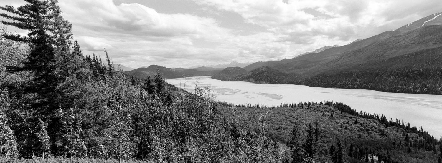
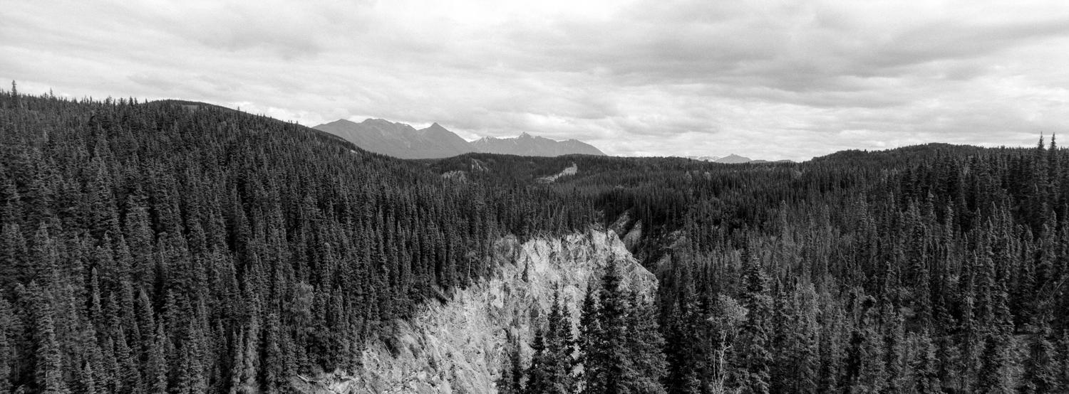
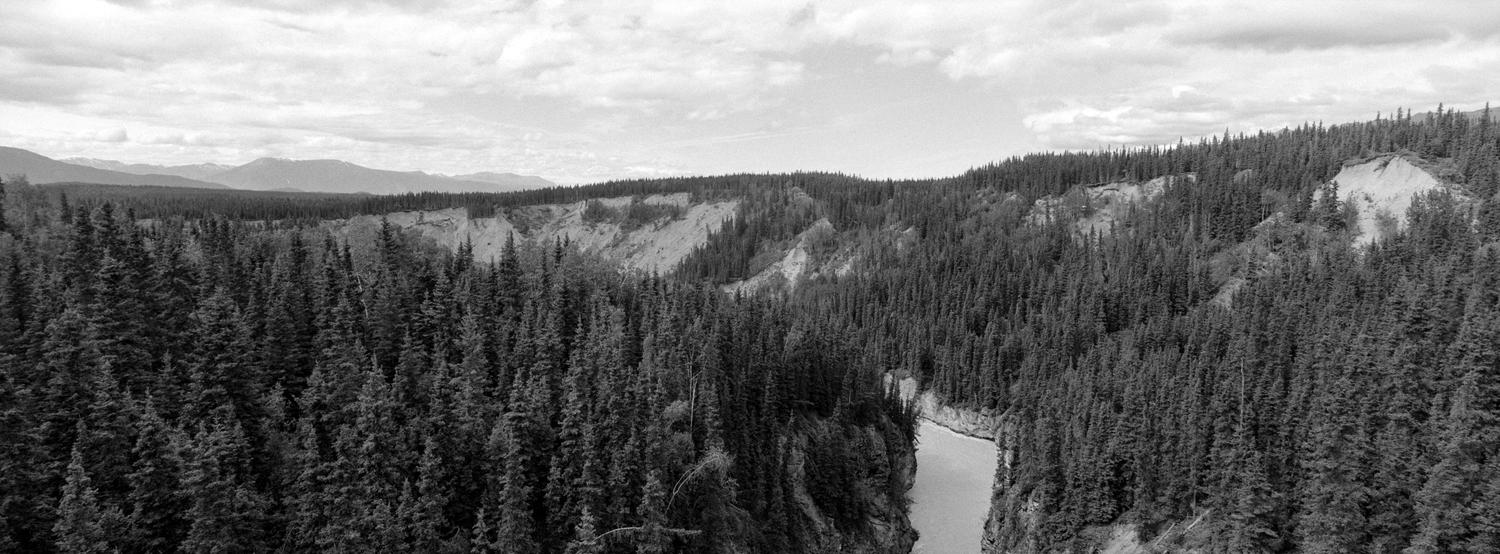
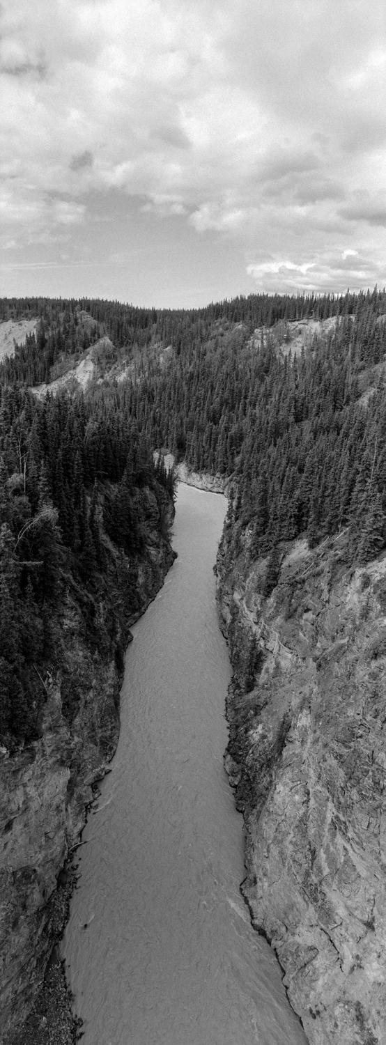
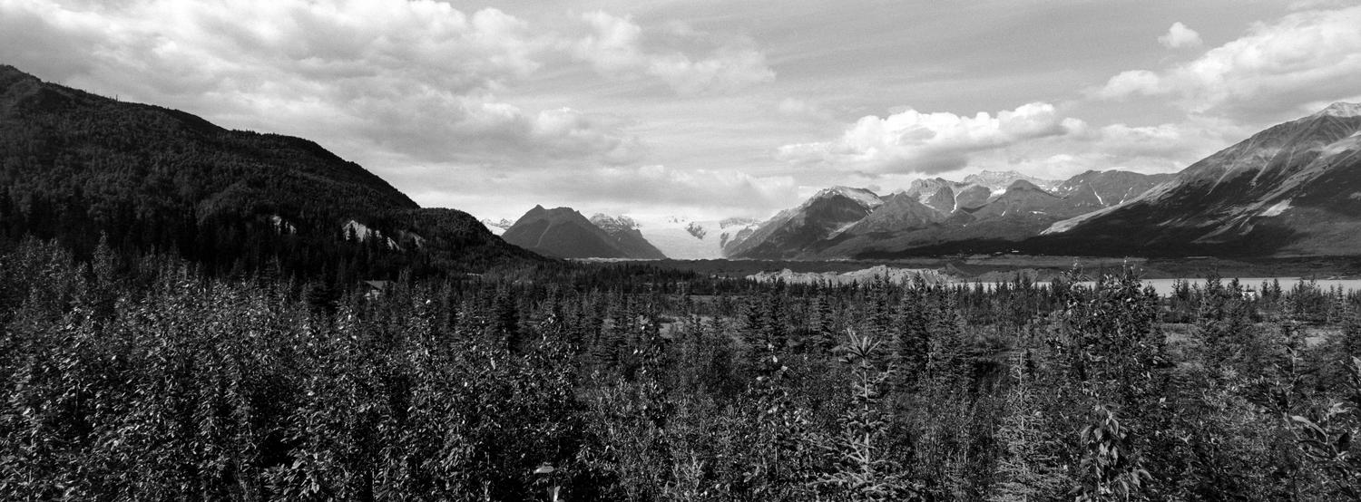
These first three images feature the Chitina River that flows through Wrangell-St. Elias National Park. We were heading down the 60 mile gravel road to the small town of McCarthy where we would be spending a couple of nights and exploring the nearby Kennecott Mine National Historic Site.
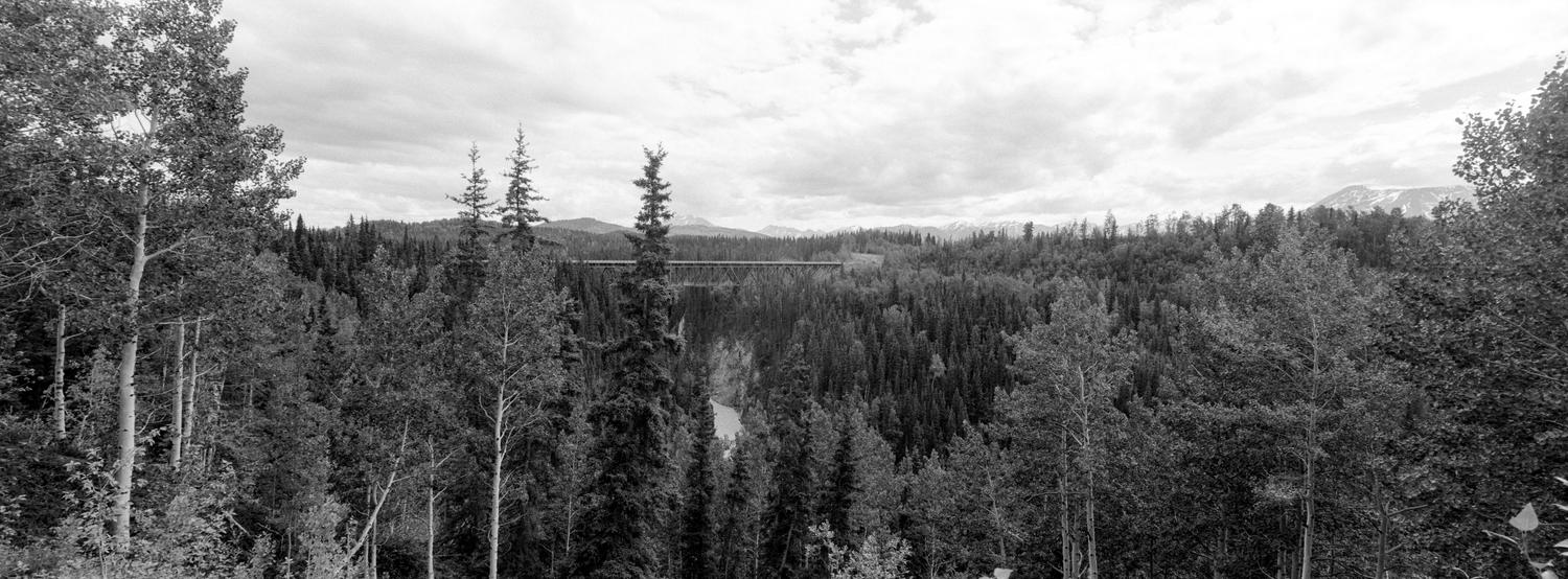
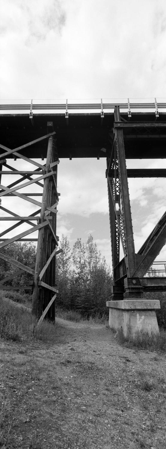
One of the major attractions on this road is the Kuskulana Bridge that spans the river by the same name, which then flows into the Chitna River.
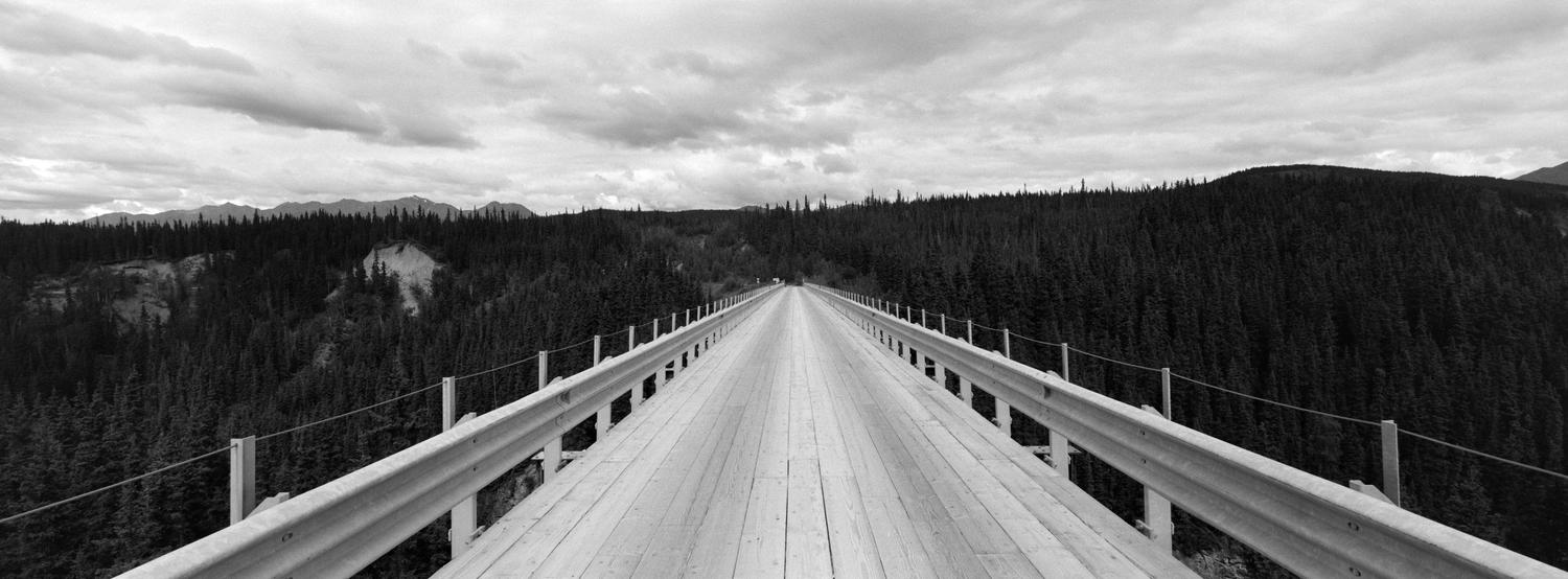
The bridge used to be a railroad bridge to bring material out of the mines at Kennecott but now is a single lane automobile bridge on the McCarthy Road. During our previous trip to Alaska we made a drive out to the bridge but this is as far as we came on that trip.
The views on either side of the bridge were pretty impressive. It was only Katy and I who ventured out onto the bridge with Kristy and Ed deciding to stay back closer to the car.
The last time I was at this location I shot Ilford FP4 and this time I was shooting Kodak Tri-X 400 at box speed. I had some interesting metering going on with the Xpan but I think they turned out pretty well overall.
Dropping down to the right of the bridge I wanted to look at the underside of the bridge and found it to be quite impressive. I was able to capture the scale with the vertical view of the Fujifilm Super-EBC Fujinon 30mm f/5.6 which allowed me to see everything.
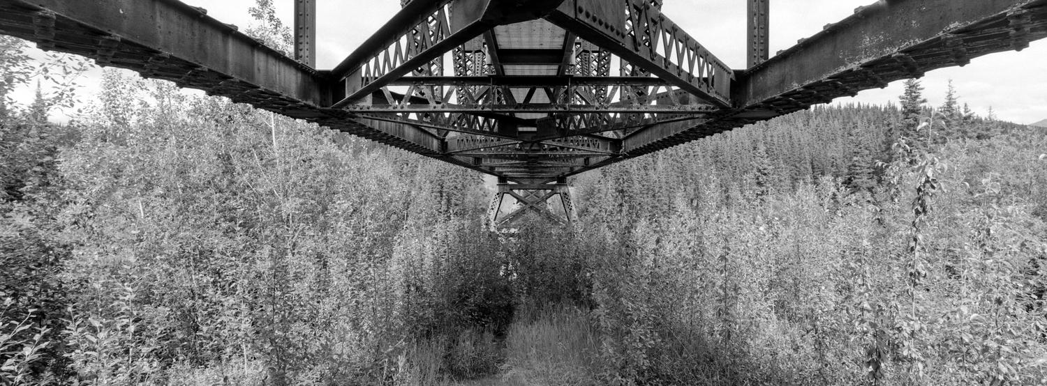
Under the bridge you get a very good view of how things were put together and realize how much work they put into making this crossing.
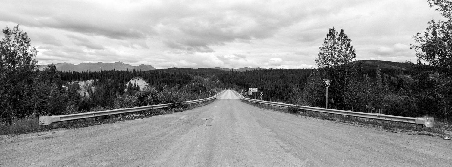
Back up at the top I took a final picture of the bridge and then we made our way further down the road until we arrived at our primitive cabins that would be our home and basecamp for two nights.
From our front porch you could see both the Kennicott Glacier and barely make out the red painted buildings of the Kennicot Mine. It was an amazing site to see.
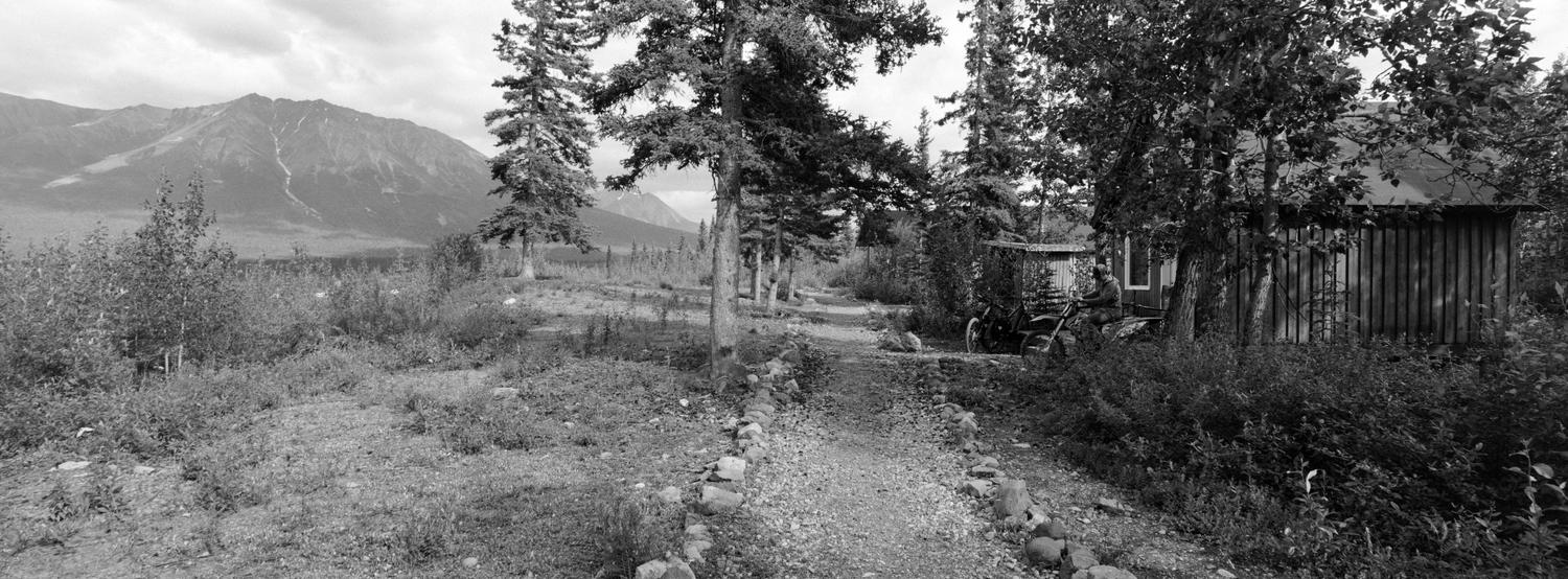
This was our pathway from our cabin to the main lodge where we did our cooking and showered.
Again, not a bad view.
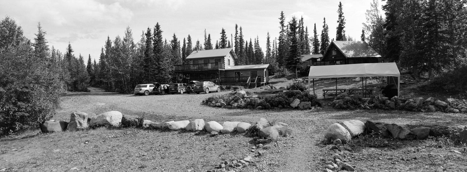
The lodge was shared by all of the folks staying in the cabins and there was a large group of college friends who had come to the area for a week that essentially took over the common rooms around meal time. We tried to work our schedule so that we would be out of their way as best we could.
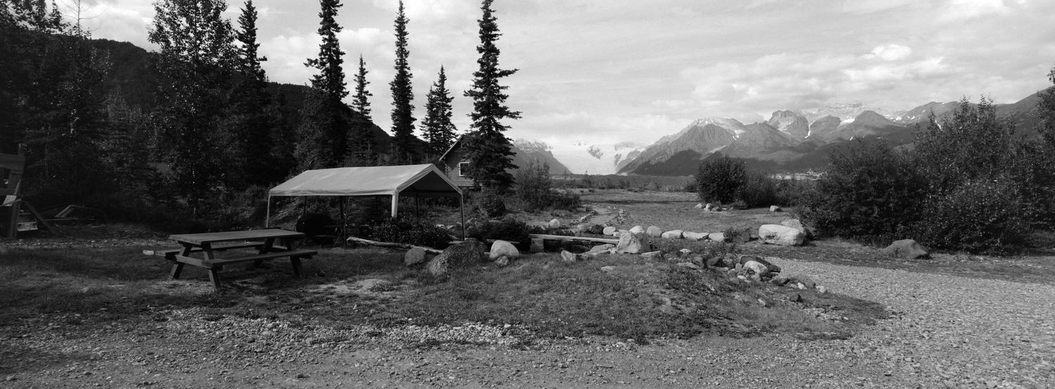
The walk to and from the cabins gave you that wonderful view of the glacier and even in the middle of the night you could look off into the distance and see it with the sun not going down until very late in the day.
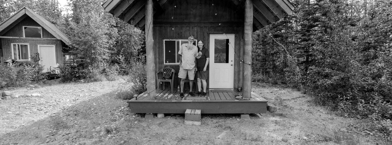
Here is a final picture of Ed and Katy on the front porch of our little cabin.